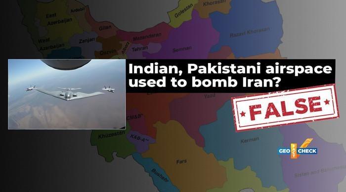
Shortly after the United States bombed Iranian nuclear sites on June 22, allegations began to circulate on social networks alleging that American planes used a Pakistani or Indian airspace to carry out strikes.
The two complaints are false.
Claim
On June 22, an X user (formerly Twitter) wrote: “Pakistani airspace was used by the United States to bomb the Iranian nuclear sites. Afghan intelligence confirmed it.”
In response, the Pakistani senator Sherry Rehman, among various other Pakistani users, denied allegation against Pakistan, but rather said: “Indian airspace has been used to bomb Iran, as now publicly confirmed by official American sources.”
Shortly after the United States bombed the Iranian nuclear sites on June 22, allegations began to circulate on social networks alleging that American aircraft used Pakistani or Indian airspace to make the strikes.
The Minister of Pakistan for Defense also shared a similar statement on X.
Adding to the confusion, reported the local media of Pakistan, citing “sources of defense”, that the American spiritual bombers B-2 steering wheel of Guam entered the Iranian airspace via India.
Do
Official maps and flight trajectories published by the United States are moving the claims that the Pakistani or Indian airspace was used in the operation.
On June 22, after the strikes, General Dan Caine, president of American joint chiefs, and the American defense secretary Peter Hegseth held a joint press conference detailing the flight trajectory of the B-2.
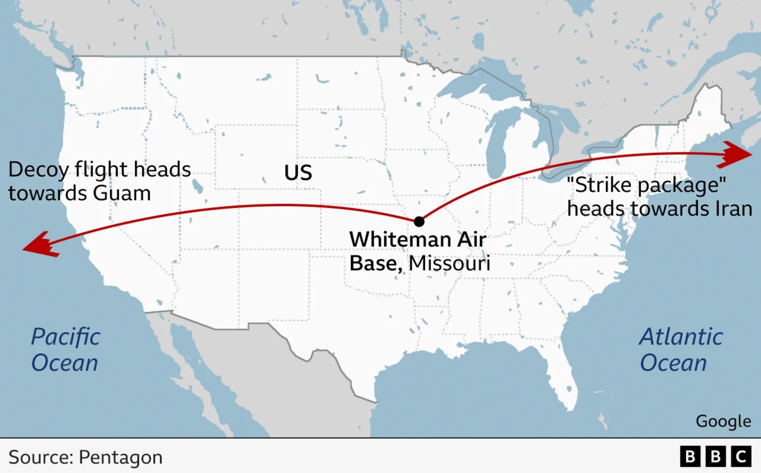
General Caine explained that two sets of B-2 bombers had been deployed. A group was used as a lure that flew over the Pacific Ocean, while the striking plane traveled via the Atlantic Ocean and entered the Iranian airspace not detected via the eastern Mediterranean.
A graphic published by the Pentagon at the press conference has shown that the real flight trajectory entering Iran from the West, not – where Pakistan and India are found.
Reports featuring these flight cards have been published by PBS News,, Bbc,, Reutersand other media.
General Cain’s full press conference can also be consulted here:
The map published by the Pentagon also shows that the flight trajectory cited by the local media was that used for deception, which headed west towards the American base of Guam. While the real B-2 bombers who led the attack rather entered Iran from the West, nowhere near the Oman Sea.
This was confirmed by journalist Tahir Imran Mian, who said De facto check: “Based on these cards and other information available, I can say that the Pakistani or Indian airspace was not used by the plane which was involved in the direct attack of Iran.”
To date, there has not been public admission by US officials for the use of Indian airspace, as the Pakistani senator claims.
It is also important to note that India and Pakistan have officially denied the use of their airspace in the operation.
The verification arm of the facts of the Indian government, Verification of GDPsPosted on its official X handle that Indian airspace was not used by the United States during operation Midnight Hammer.
Similarly, the handle of verification of the facts of the Pakistani ministry of information rejected the demand for the use of Pakistan airspace as “false news”.
Verdict: According to information accessible to the public so far, so the flight cards and trajectories provided by the United States, nothing indicates that the Pakistani or Indian airspace has been used in the American strike on Iranian nuclear sites.
Image credit: ABC News