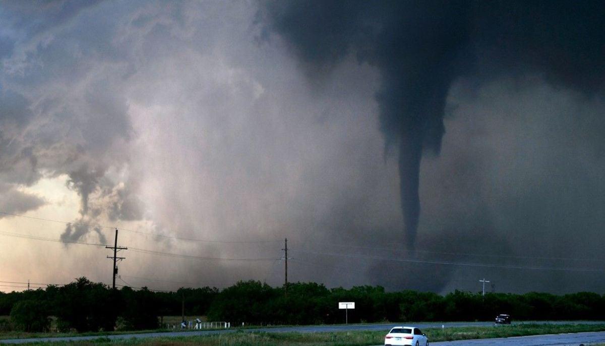
Severe weather is forecast for the central United States in early April, with threats of tornadoes, damaging winds and hail.
Experts also raised concerns about flooding during the first week of the month.
As reported by the National Oceanic and Atmospheric Administration (NOAA), a stationary front extending from northeastern California will remain mostly in place through Thursday, April 2.
Several rounds of disruptive thunderstorms are expected to hit the central states.
As of Tuesday, the most severe weather threat was concentrated from southern Michigan to northeastern Illinois and then into northern Indiana and Ohio.
The NOAA Storm Prediction Center issued a slight risk, Level 2 out of 5, for parts of the Great Lakes and Ohio Valley through Wednesday morning.
Destructive winds and large hail are also possible.
For the Plains and Mississippi, a severe threat is forecast for Wednesday, April 1, extending from central Texas through Kansas to Missouri.
By Thursday, April 2, the threat will shift to the Midwest, with storms capable of producing strong wind gusts and hail from northern Arkansas to southern Michigan.
Meanwhile, freezing rain and snow will occur in the far North, with wintry precipitation in the Upper Mississippi Valley, Great Lakes, and Northeast by midweek.
Total precipitation amounts from Texas to the Great Lakes and central Appalachia are expected to range from 1 to 4 inches, with locally higher amounts of up to 6 inches.